
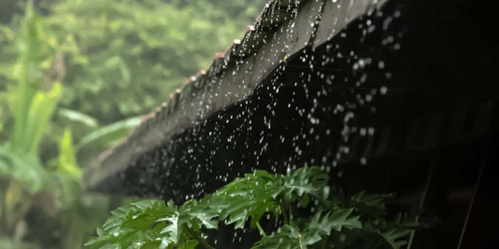
The prediction of a prolonged dry season reported by the Meteorology, Climatology, and Geophysics Agency (BMKG) has begun to draw public attention. However, weather conditions in several regions of Indonesia, which are still frequently drenched by rain, have raised questions: why does rain still occur amidst the El Niño issue, specifically the phenomenon referred to as “Godzilla”?
Responding to this, a lecturer from the Department of Geophysics and Meteorology at IPB University, Sonni Setiawan, SS, MSi, explained that this phenomenon is a natural occurrence within climate dynamics, particularly because Indonesia is currently in a seasonal transition period.
“Because this is still the pancaroba (transition period), and the start of the season is not uniform across all regions of Indonesia,” he stated (4/8).
He emphasized that the ongoing rainfall does not necessarily indicate an erroneous prediction. According to him, indications of a prolonged dry season remain visible based on the trend of increasing sea surface temperatures in the Pacific Ocean.
“Yes, because sea surface temperatures in the central and eastern tropical Pacific Ocean tend to increase,” he explained.
This condition serves as an early signal of the developing El Niño phenomenon, which has the potential to reduce rainfall in Indonesia during the rainy season. Furthermore, based on BMKG information, this year’s dry season is expected to last longer. “It is predicted as such, with a duration of approximately six months,” he added.
Sonni also revealed that the start of the dry season has the potential to arrive earlier than usual, specifically in the Java Island region, which generally enters the dry season in July. “The start of the dry season is earlier than usual,” he said.
He explained that this acceleration is related to the rise in sea surface temperatures in the central and eastern Pacific, which leads to a reduction in cloud formation over Indonesia. “This rise in sea surface temperature impacts the reduction of cloud formations in Indonesia,” he stated.
Furthermore, he explained that El Niño and La Niña are products of large-scale ocean-atmosphere interaction phenomena that cause a shift in the Walker Circulation in the tropical atmosphere. The periodicity of El Niño and La Niña events is approximately every 4 to 5 years.
“The Walker Circulation is a west-east circulation, where air rises over continents and descends over oceans,” he explained.
Regarding the widely discussed term “Godzilla El Niño,” Sonni explained that the term refers to the super El Niño category, characterized by an intensity that is very strong relative to typical El Niño events.
“Godzilla El Niño refers to a super El Niño, which occurs when sea surface temperatures in the Pacific can rise by about 2,5 degrees Celsius or even more above the sea surface temperature increase of a standard El Niño event. This Godzilla El Niño typically lasts for an average of about one year,” he clarified.
This phenomenon occurred in 1982, 1997, and 2015, resulting in significant global impacts such as extreme drought and forest fires. Nevertheless, he assessed that current conditions remain in the weak to moderate category. “To be honest, the strength is still weak to moderate,” he said.
In his analysis, he also linked the potential for a super El Niño (Godzilla El Niño) to sunspot activity on the sun. “Based on sunspot data and rainfall data from 72 stations on Java Island over 35 years, it shows that the intensity of El Niño can be amplified by sunspots.”
Furthermore, data on sunspots and Nino 3.4 show that Godzilla El Niño events always occur after a sunspot maximum. “The sunspot maximum in 2025 has the potential to be followed by a strong El Niño in 2026,” he added.
Despite this, he emphasized that this study still requires long-term data and a broader scope to strengthen the scientific explanation. Consequently, the public is urged to continue following official information and understand that current weather conditions are part of a complex seasonal transition process. (AS) (IAAS/HNF)